Australia Maps: Outline, Boundaries and Names
Three printable maps of Australia: a clean country outline, a subdivision map and a labelled reference map.
What’s in the worksheet?
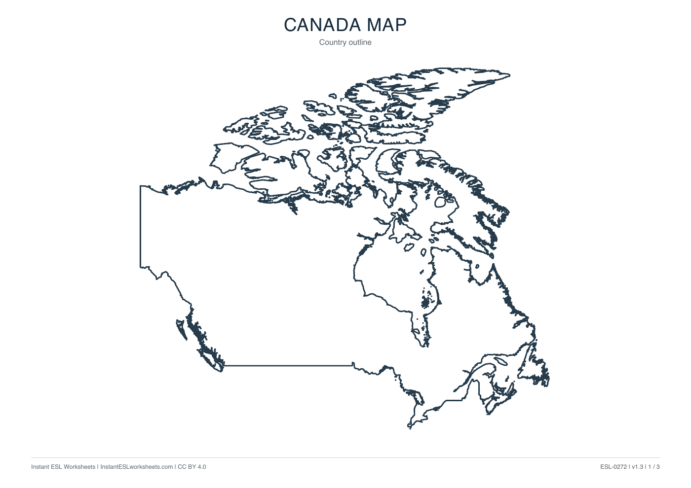
- Country outline map
- Internal boundary map
- Labelled subdivision reference
- Three printable map pages
Use three Australia map versions for location language and optional labelling: country outline, state-and-territory boundaries, and numbered names. The final page distinguishes the supplied states and territories.
Worksheet preview
Open PDF ↗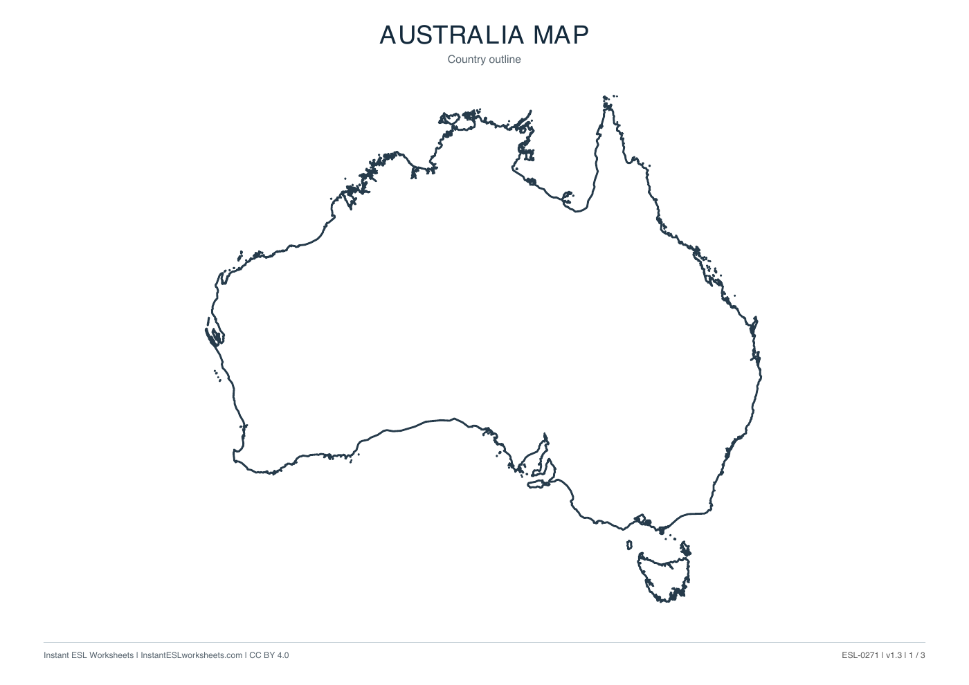
Page 1 of 3 · A4 printable PDF
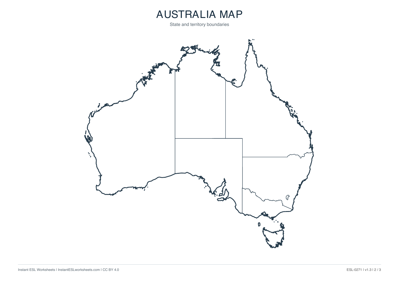
Page 2 of 3 · A4 printable PDF
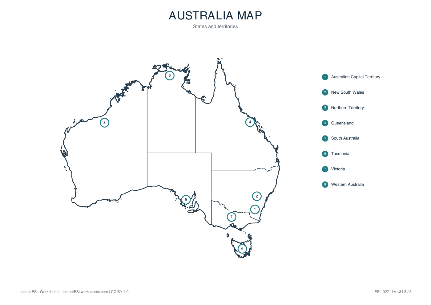
Page 3 of 3 · A4 printable PDF
A simple way to teach it
Before the lesson
Select the version suited to the task and reserve page 3 for reference if learners will label page 2. These are map resources, not a scripted geography exercise.
- Begin with the outline and identify the country. Introduce north, south, east and west as classroom language.
- Use the boundaries page to locate a few areas, then match their numbers and names on page 3, including Tasmania and the Australian Capital Territory.
- Ask pairs to describe an area's position without saying its name. Check geographical identification against the labelled page, while accepting varied language.
Support and extension
For A1, use pointing and short location phrases. For B1-B2, add a teacher-chosen itinerary; cities, routes and travel information would need separate resources.
Suggested approach. Adjust the pace and number of questions to suit your class.