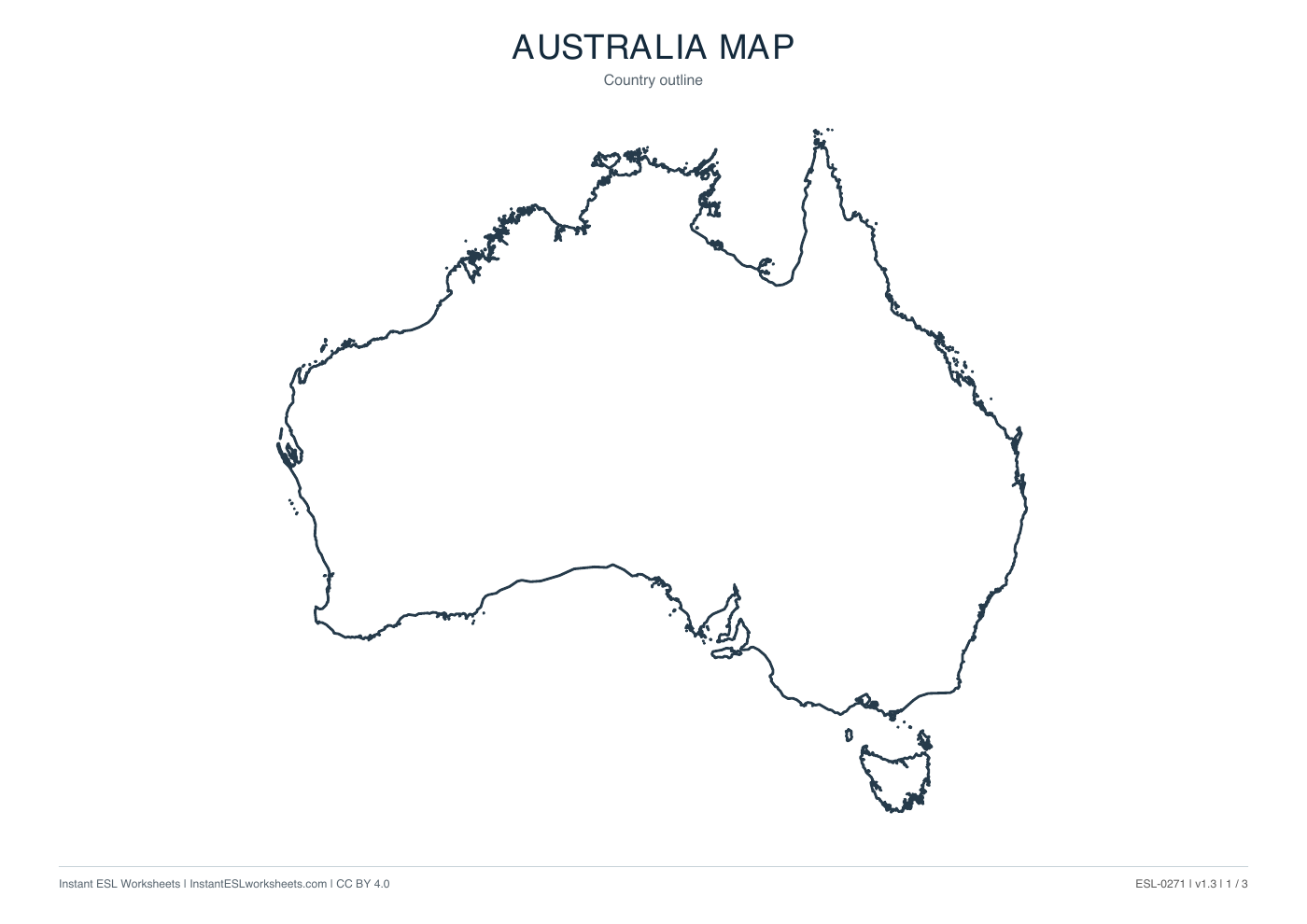
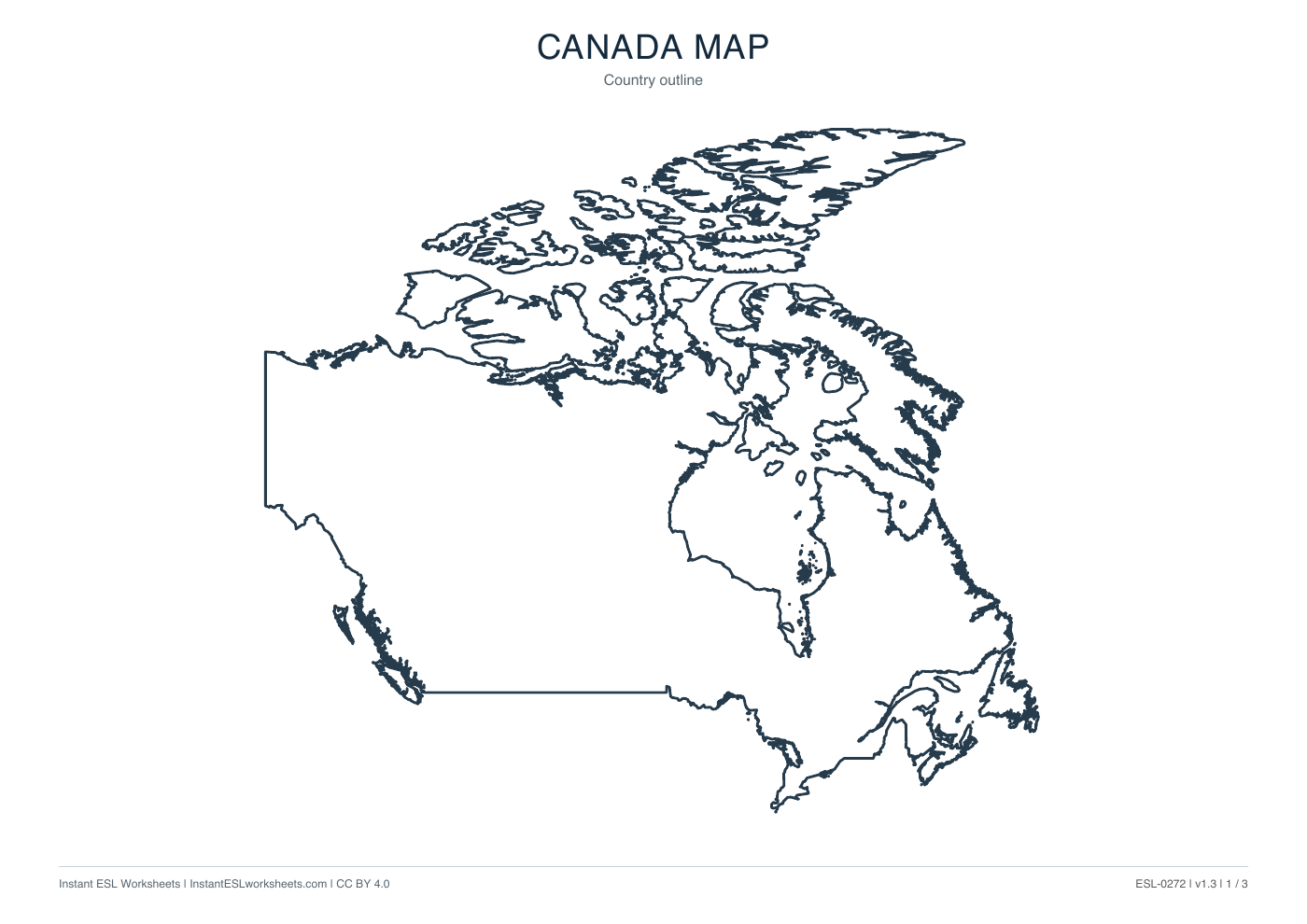
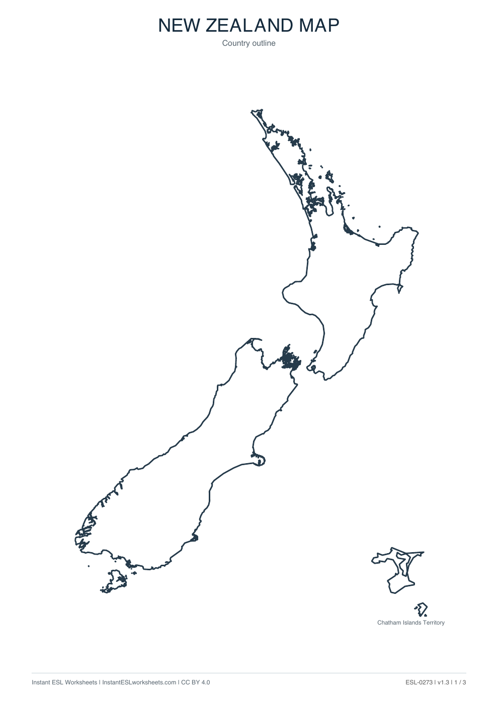
United Kingdom Maps: Outline, Boundaries and Names
Three printable maps of United Kingdom: a clean country outline, a subdivision map and a labelled reference map.
What’s in the worksheet?
- Country outline map
- Internal boundary map
- Labelled subdivision reference
- Three printable map pages
Use the United Kingdom outline, country-boundary and named maps for geographical identification and simple position language. The reference labels England, Scotland, Wales and Northern Ireland.
Worksheet preview
Open PDF ↗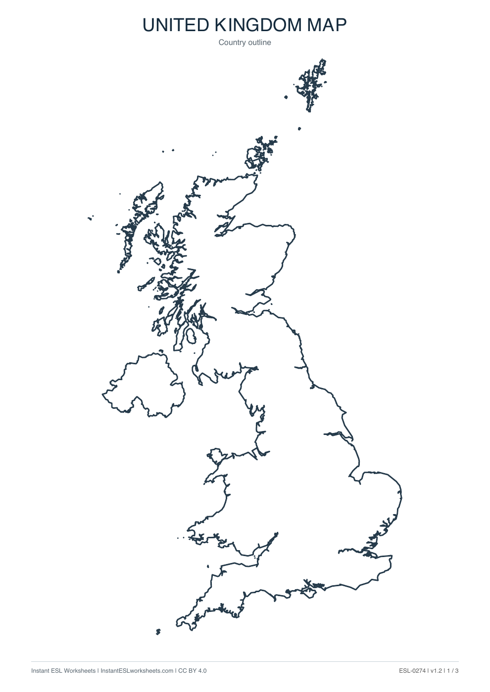
Page 1 of 3 · A4 printable PDF
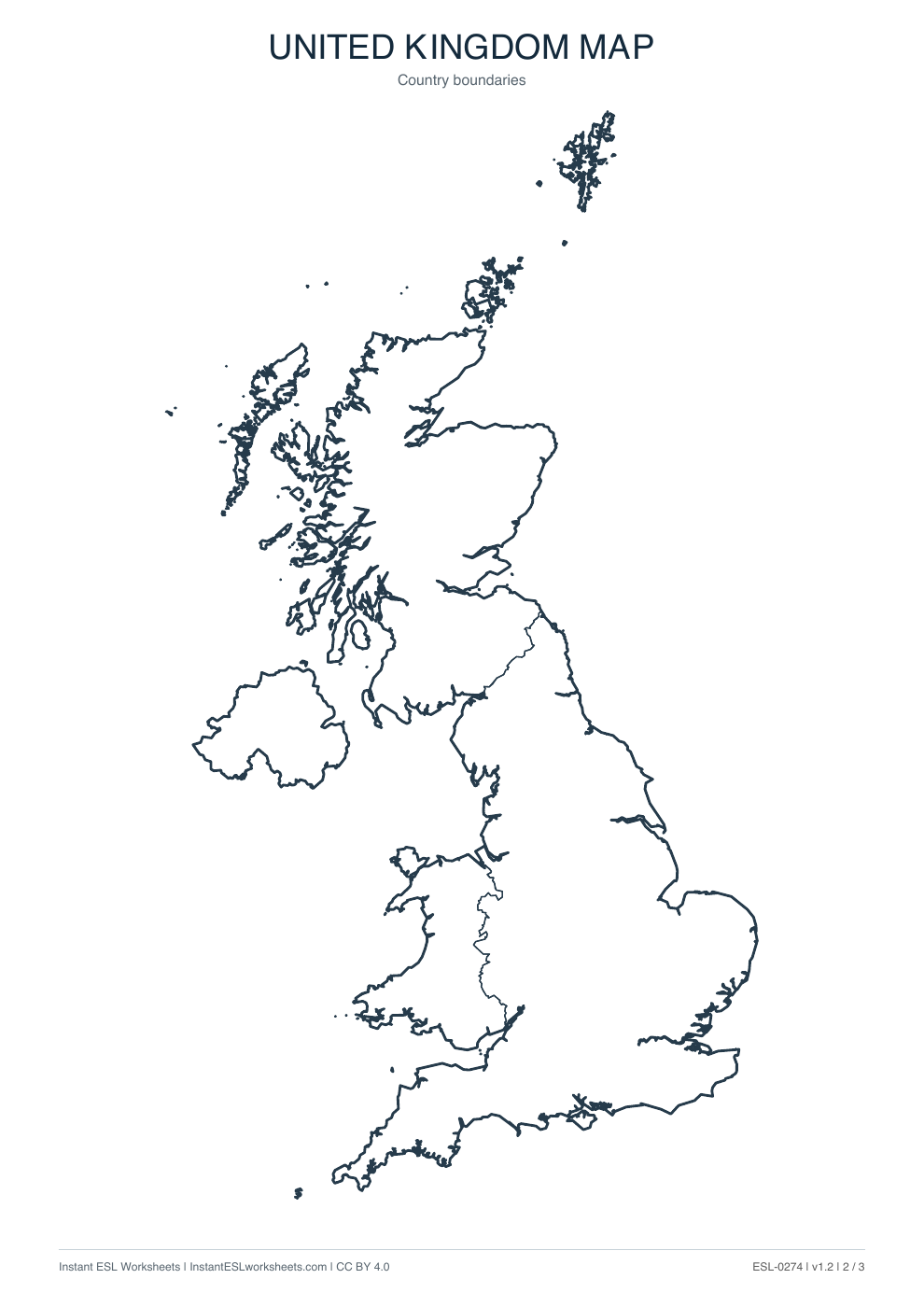
Page 2 of 3 · A4 printable PDF
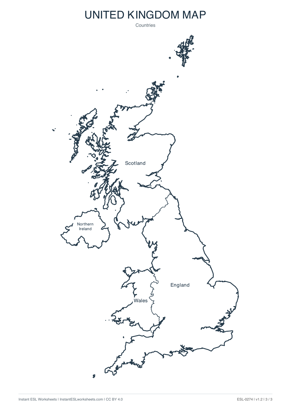
Page 3 of 3 · A4 printable PDF
A simple way to teach it
Before the lesson
Select the outline for recognition or the boundary page for labelling. Use page 3 to check the four names; there are no scripted questions or separate key.
- Compare the outline and boundary versions. Introduce the four constituent-country names shown on the final page.
- Have learners label the boundary page or point to a named country. Practise sentences such as Scotland is north of England.
- Give a partner a location clue and check the identification on the named map. Keep language answers flexible while checking names accurately.
Support and extension
Support with a four-name bank. Extend by distinguishing the United Kingdom from Great Britain using teacher explanation; this resource does not provide cities, counties or detailed travel routes.
Suggested approach. Adjust the pace and number of questions to suit your class.