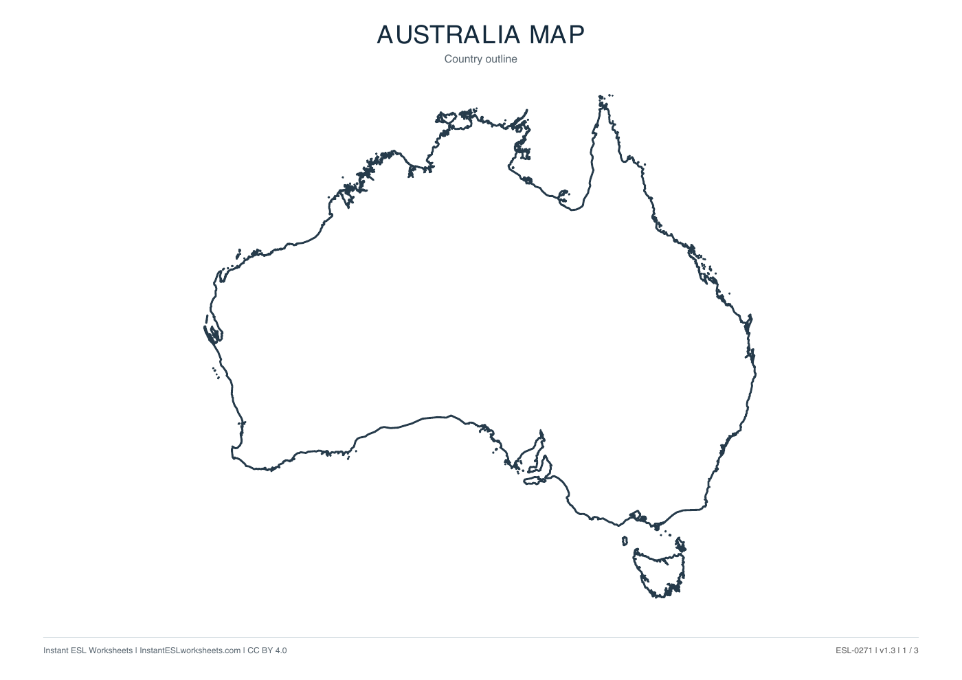
Canada Maps: Outline, Boundaries and Names
Three printable maps of Canada: a clean country outline, a subdivision map and a labelled reference map.
What’s in the worksheet?
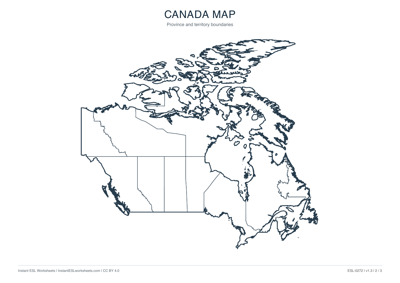
- Country outline map
- Internal boundary map
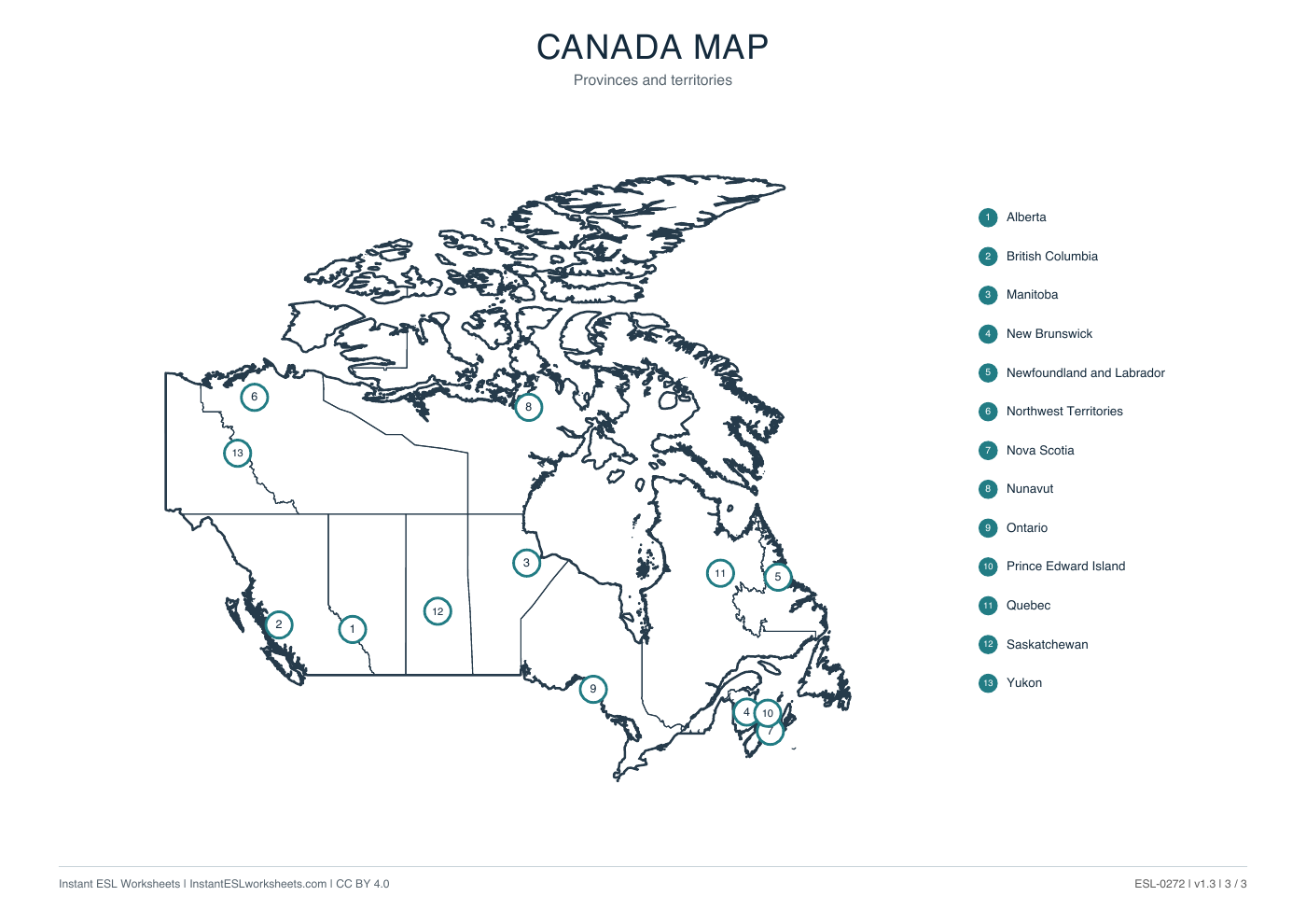
- Labelled subdivision reference
- Three printable map pages
Use Canada's outline, boundary and numbered-name maps to practise location and labelling. The named page provides a reference for provinces and territories rather than a set of comprehension questions.
Worksheet preview
Open PDF ↗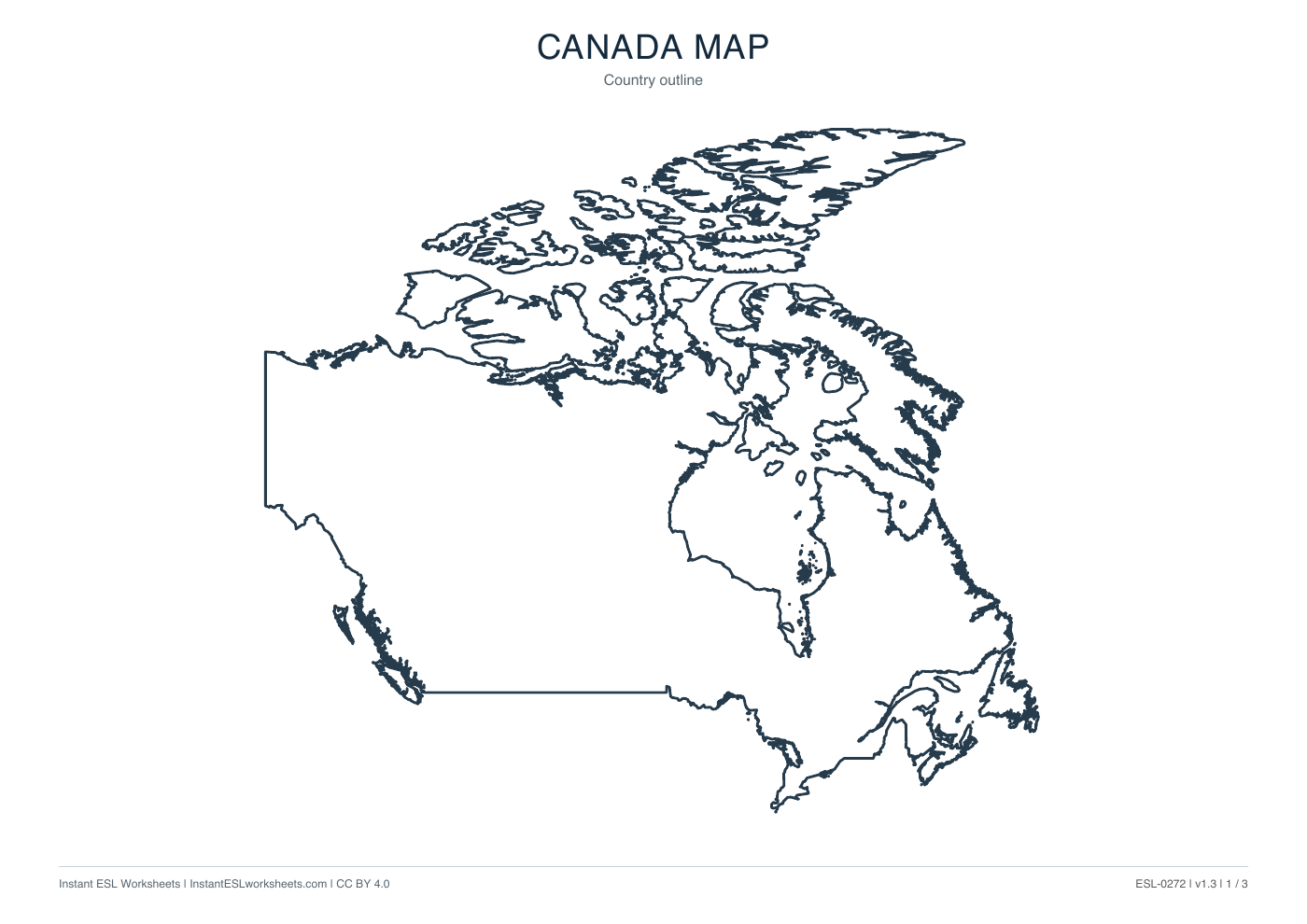
Page 1 of 3 · A4 printable PDF
Page 2 of 3 · A4 printable PDF
Page 3 of 3 · A4 printable PDF
A simple way to teach it
Before the lesson
Choose a few locations instead of expecting learners to memorise every name. Page 3 can check labels added to the boundary version.
- Compare the national outline with the divided map. Introduce the terms province and territory as labels used by the resource.
- Find selected numbered areas and read their names, such as British Columbia, Ontario and Nunavut. Practise relative position language.
- Let pairs give location clues for an area, then reveal and check the name using page 3.
Support and extension
Support with a short name bank and pointing. Extend with comparisons between two areas' positions; the maps do not supply capitals, population figures or a travel itinerary.
Suggested approach. Adjust the pace and number of questions to suit your class.