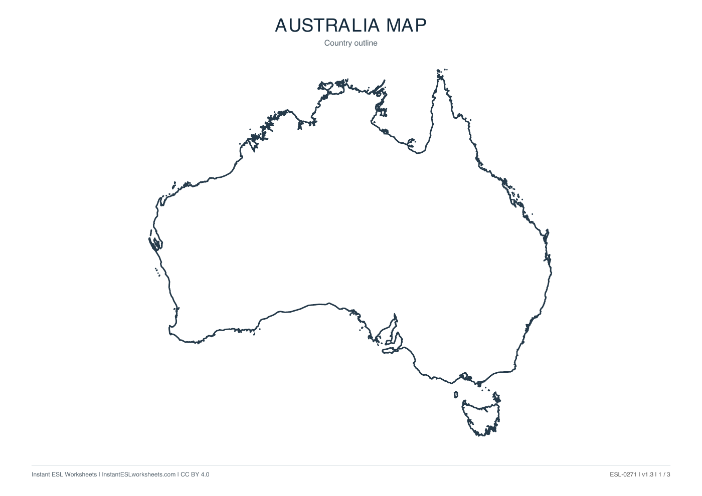
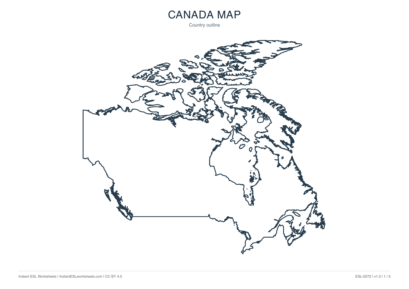
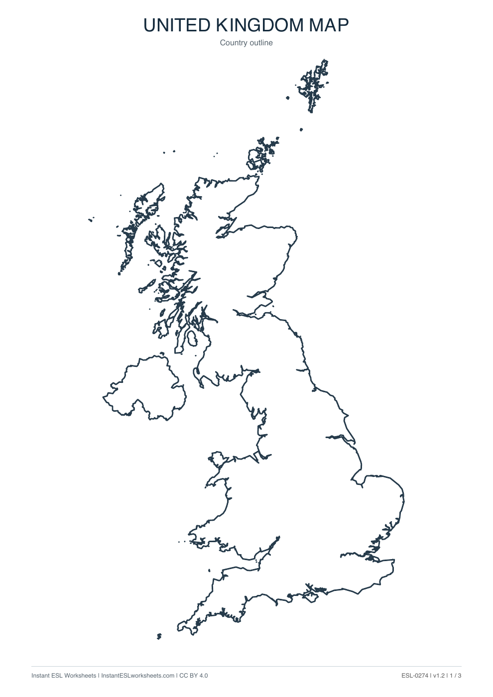
New Zealand Maps: Outline, Boundaries and Names
Three printable maps of New Zealand: a clean country outline, a subdivision map and a labelled reference map.
What’s in the worksheet?
- Country outline map
- Internal boundary map
- Labelled subdivision reference
- Three printable map pages
Use three New Zealand map versions to practise recognising the outline and describing locations. The labelled reference includes regions and the separately shown Chatham Islands Territory.
Worksheet preview
Open PDF ↗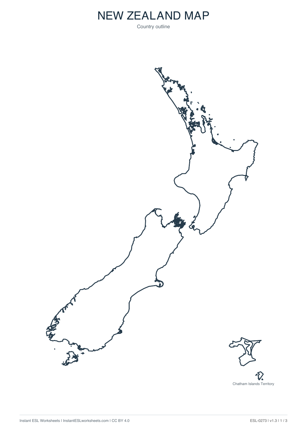
Page 1 of 3 · A4 printable PDF
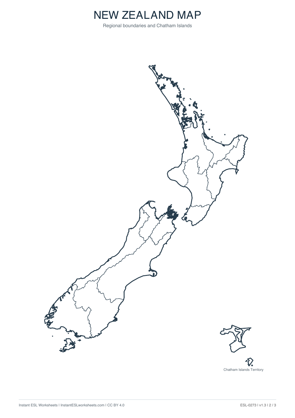
Page 2 of 3 · A4 printable PDF
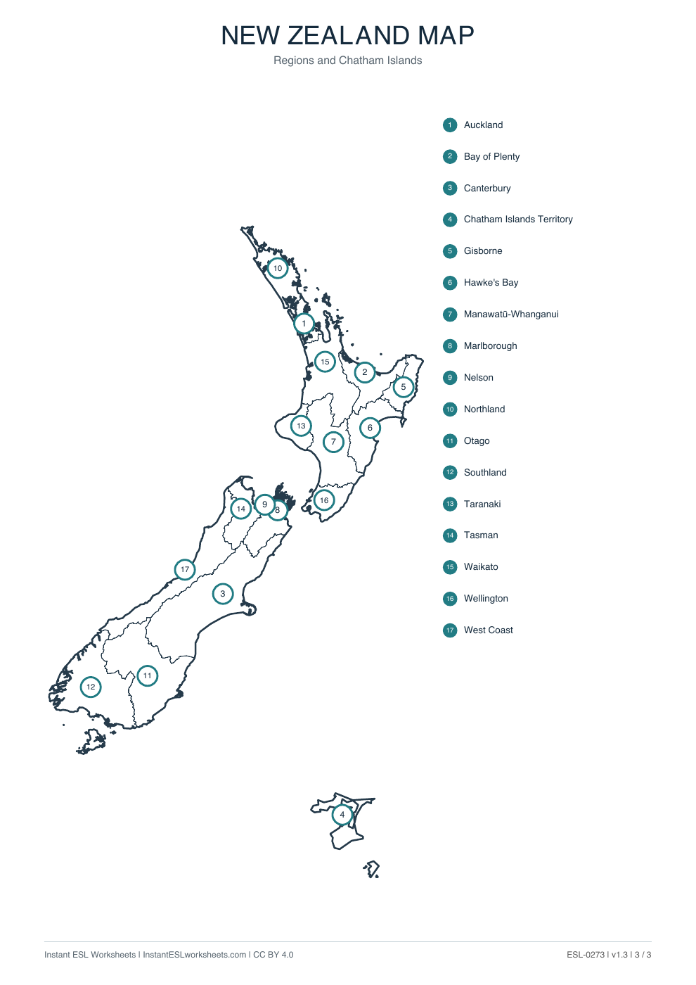
Page 3 of 3 · A4 printable PDF
A simple way to teach it
Before the lesson
Choose outline, boundaries or numbered names according to the task. The Chatham Islands display is separate, so do not treat page distances as a travel scale.
- Identify the two main islands and the separate Chatham Islands illustration. Introduce simple north / south and island language.
- Locate a small selection of numbered names on page 3, such as Auckland, Canterbury and Wellington. Use that reference to label selected areas on page 2.
- Ask partners to describe a location and identify it. Check names against the reference, not against an invented exercise key.
Support and extension
Support with pointing and a short list of names. Extend with more detailed relative-location sentences; distinguish the Chatham Islands Territory from the regions named alongside it.
Suggested approach. Adjust the pace and number of questions to suit your class.