United States Maps: Outline, States and Labels
Three printable maps of United States: a clean country outline, a subdivision map and a labelled reference map.
What’s in the worksheet?
- Country outline map
- Internal boundary map
- Labelled subdivision reference
- Three printable map pages
Use three United States map versions to practise state names and relative location. The labelled page includes Alaska and Hawaii in separate display boxes and leader lines for small northeastern states.
Worksheet preview
Open PDF ↗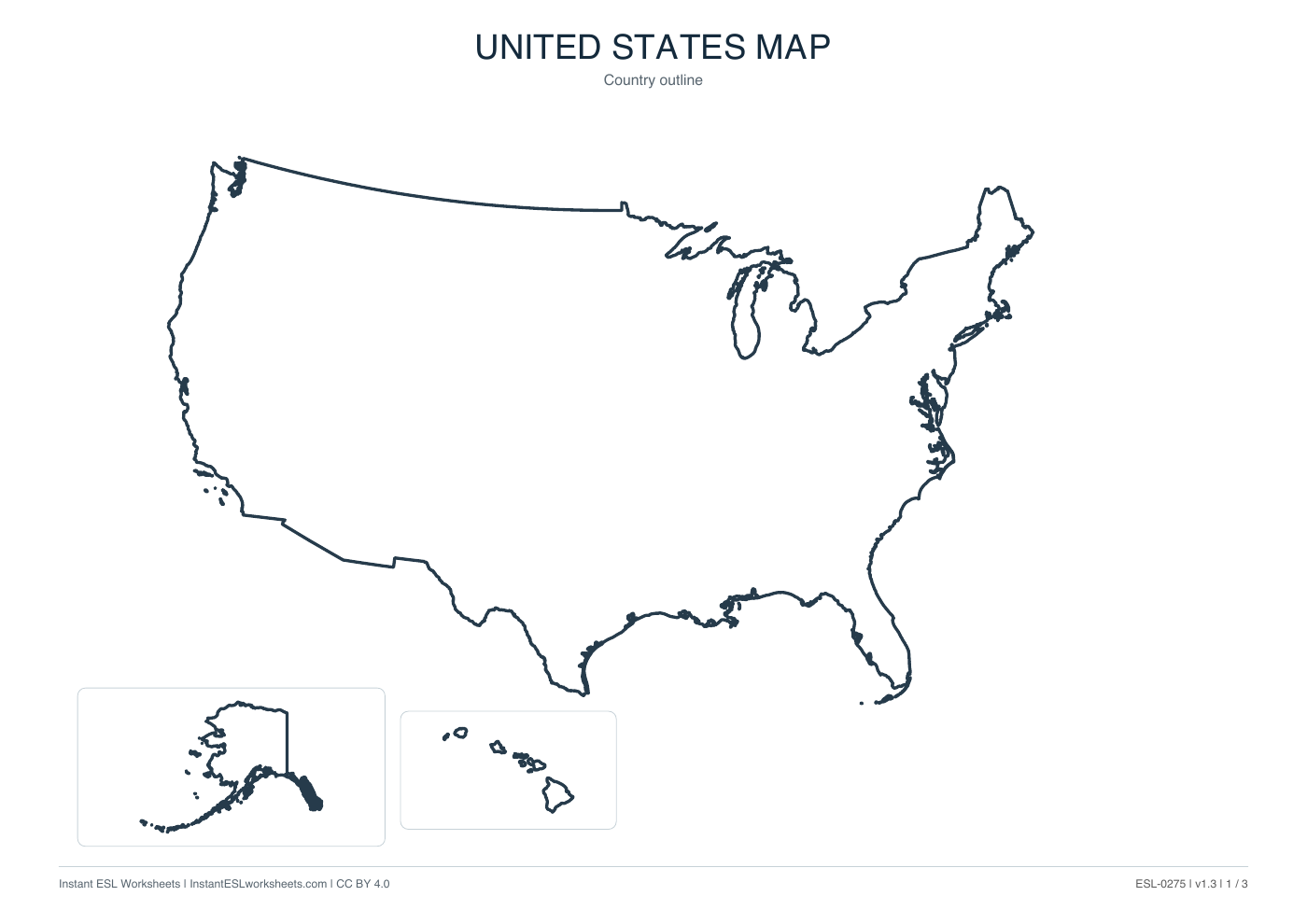
Page 1 of 3 · A4 printable PDF
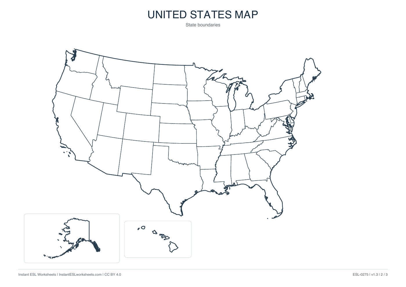
Page 2 of 3 · A4 printable PDF
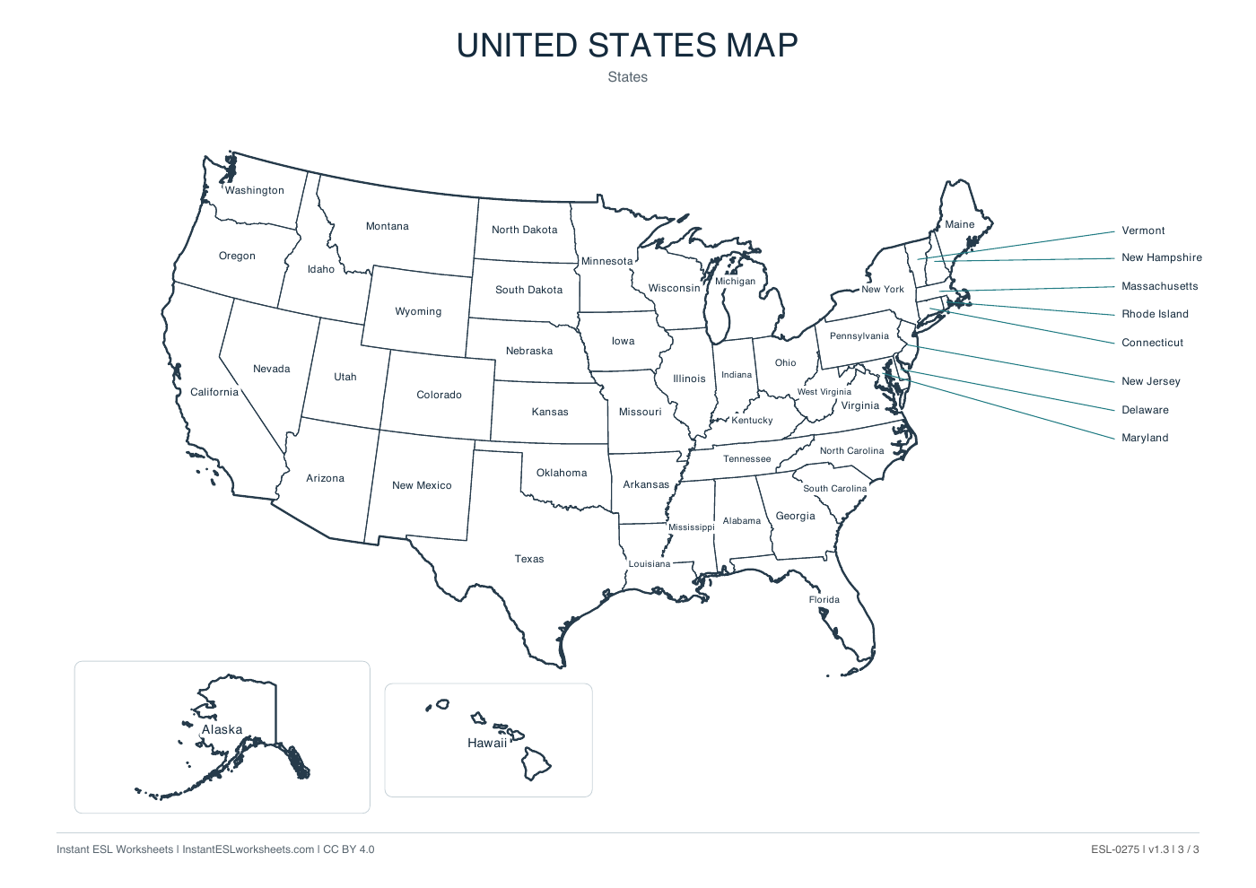
Page 3 of 3 · A4 printable PDF
A simple way to teach it
Before the lesson
Choose outline, state boundaries or labels for the activity. Keep the labelled page as a reference; the boxes are layout devices, not a continuous travel-scale map.
- Identify the main map and the Alaska and Hawaii displays. Introduce east, west, north and south before naming many states.
- Select a manageable set of states to locate or label. Follow the leader lines carefully when checking northeastern names on page 3.
- Ask pairs for state-location clues and confirm the answers with the labelled version. Treat any teacher-created task as an adaptation, not a built-in worksheet exercise.
Support and extension
Support with a short state-name bank. Extend with neighbouring-state descriptions; capitals, roads and factual travel details require a separate source.
Suggested approach. Adjust the pace and number of questions to suit your class.